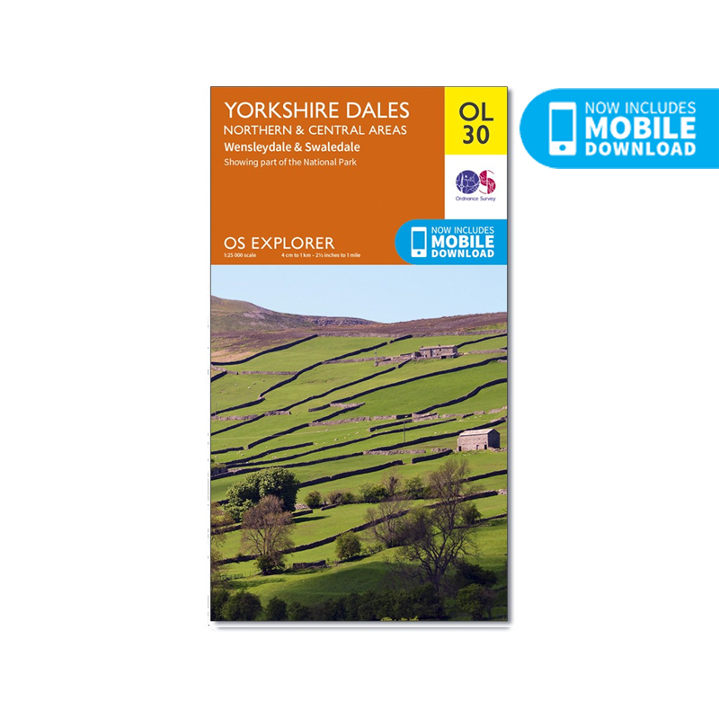
OS Explorer Map of Yorkshire Dales - Northern & Central Area (OL30)
OS Explorer Map of Yorkshire Dales - Northern & Central Area (OL30)
Ordnance Survey
Couldn't load pickup availability
OS Explorer sheet OL30 in the OS Explorer map series is the map of choice for people visiting the Northern and Central areas of the Yorkshire Dales, including Wensleydale & Swaledale. There is wealth of scenery in this part of the Yorkshire Dales National Park. Highlights of the area include The valleys of Swaledale and Arkengarthdale, Aysgarth Falls, Hawes, and the River Wharfe.
From Great Black Hill to Ramsgill, the OS Explorer map of the North and Central Yorkshire Dales pinpoints every house and hill, pub and place of interest, making it the perfect fold-up companion for visitors and locals alike.
Easy to understand, whether you’re an occasional ambler or a highly-experienced hill walker, follow the Dales Way recreational path or the Pennine Way national trail, and soak up some of the most spectacular scenery in the North of England.
With their legacy of ancient Norse culture, explore the Swaledale and Arkengarthdale valleys. Get a real sense of the area’s history, climbing mountains with good Viking names, like Great Shunner Fell and Rogan’s Seat.
Aysgarth Falls – with scenery that inspired Ruskin, Turner and Wordsworth – is a natural wonder not to be missed. While the River Swale, the fastest flowing river in England offers opportunities for some serious canoeing.
Follow your map to the spectacular triple flight of falls carved out by the River Ure. A product of the Ice Age, the falls boast a dramatic 30ft drop over limestone steps.
Whether you fancy a spot of fishing on the River Wharfedale or cheese tasting at the Wensleydale Creamery, you’ll get so much more out of your excursion in the North and Central Yorkshire Dales with the OS Explorer OL30 safely stowed in your knapsack. Add a copy to your basket today, and start planning your next day out in the Dales.
The OS Explorer series, are the most detailed maps recommended for anyone who enjoys outdoor activities. The 1:25,000 scale GPS compatible maps with hiking trails, cycling routes and extensive tourist information are great gifts for walkers.
Just scratch off the silver panel on the inside cover, enter the code and then download your map inside the app.
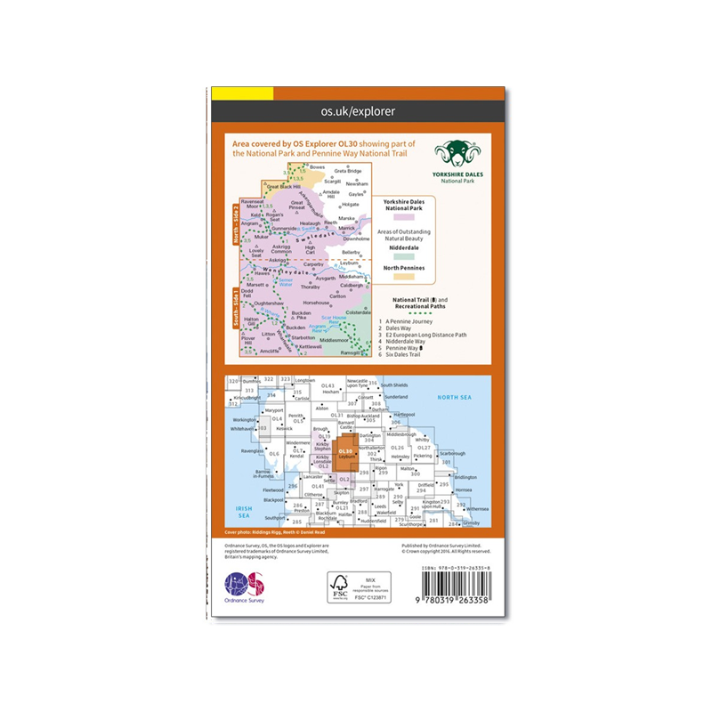
With this OS map, you can now download a copy for use on your Android or iOS smartphone or tablet. Each paper map has a unique code that will give you access to the same mapping using our new app, OS Maps.
Features
- Scale: 1:25,000
- Material: Paper
- Series: Explorer
- Includes Mobile Download
Specifications
- Weight: 0.0kg / 0.0oz - TBC
- Dimensions: 13.5W x 24H cm / 5.3W x 9.4H in
- Brand: Ordnance Survey
- Publication Date: 01/08/2016
- ISBN: 9780319263358
Shipping & Returns
Shipping & Returns
Standard delivery applies
Share