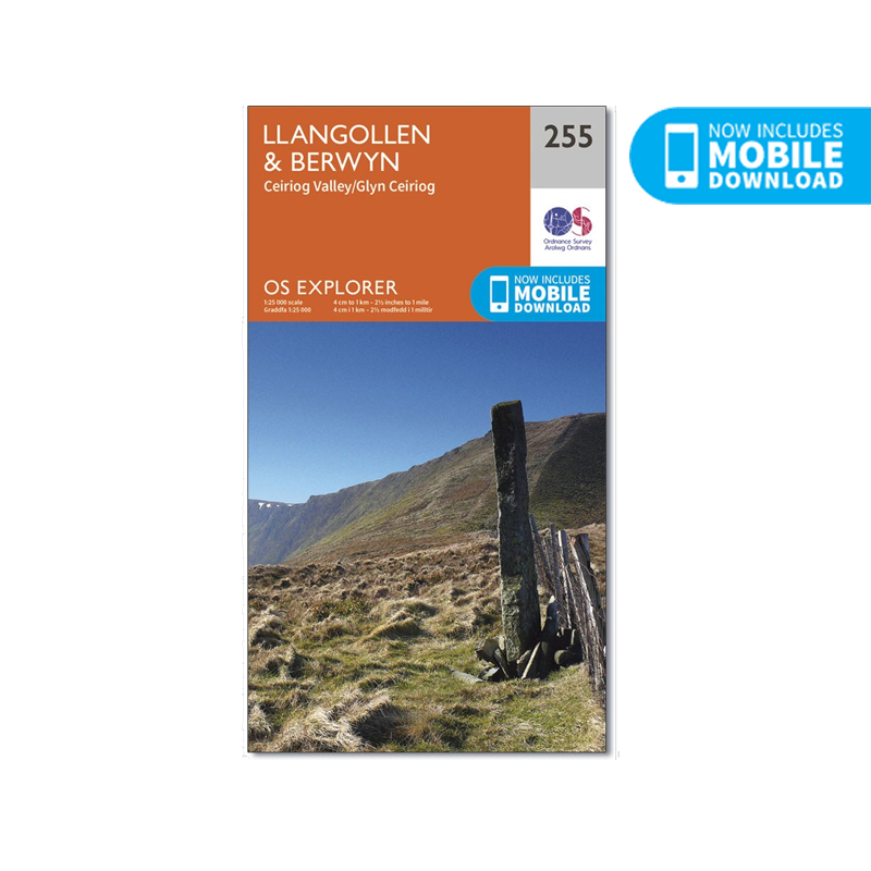
OS Explorer Map of Llangollen & Berwyn (255)
OS Explorer Map of Llangollen & Berwyn (255)
Ordnance Survey
Couldn't load pickup availability
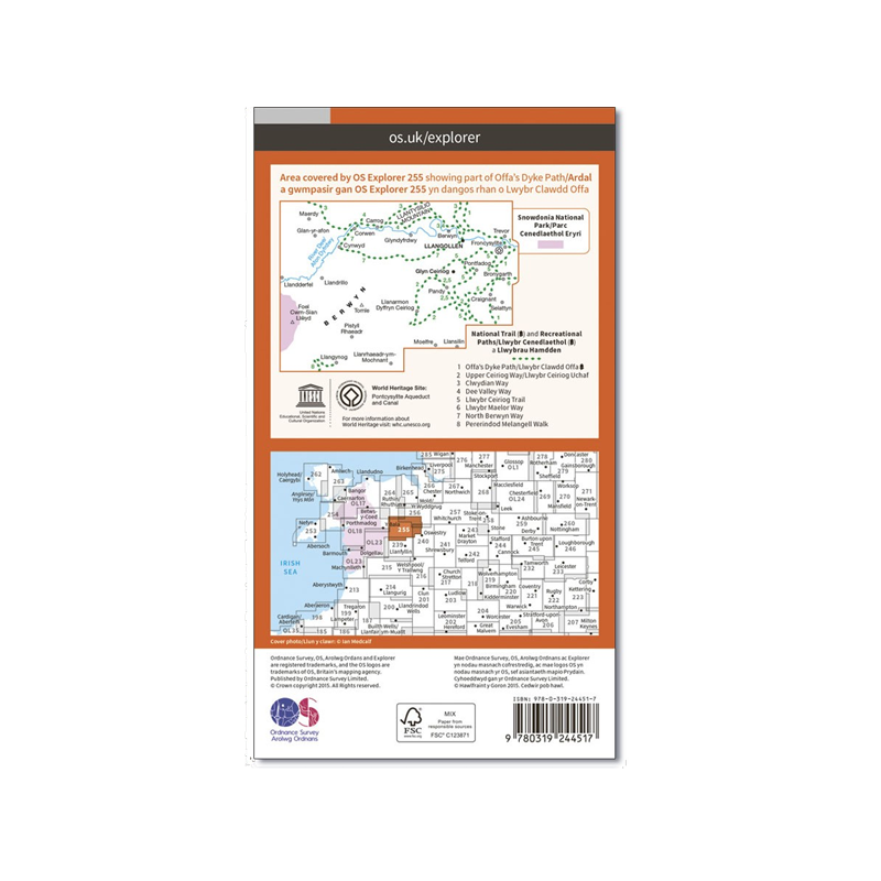
OS Explorer sheet 255 in the OS Explorer map series is the ideal map for your day trips to North Wales to the east of Snowdonia National Park. Highlights of the area include Offa's Dyke Path National Trail, Upper Ceirirog Trail and Llwybr Maelor Way.
The OS Explorer series, are the most detailed maps recommended for anyone who enjoys outdoor activities. The 1:25,000 scale GPS compatible maps with hiking trails, cycling routes and extensive tourist information are great gifts for walkers.
With this OS map, you can now download a copy for use on your Android or iOS smartphone or tablet. Each paper map has a unique code that will give you access to the same mapping using our new app, OS Maps.
Just scratch off the silver panel on the inside cover, enter the code and then download your map inside the app.
Features
- Scale: 1:25,000
- Material: Paper
- Series: Explorer
- Includes Mobile Download
Specifications
- Weight: 0.0kg / 0.0oz - TBC
- Dimensions: 13.5W x 24H cm / 5.3W x 9.4H in
- Brand: Ordnance Survey
- Publication Date: 16/09/2015
- ISBN: 9780319244517
Shipping & Returns
Shipping & Returns
Standard delivery applies
Share


