OS Explorer Map of Ben Nevis & Fort William (392)
OS Explorer Map of Ben Nevis & Fort William (392)
Ordnance Survey
Couldn't load pickup availability
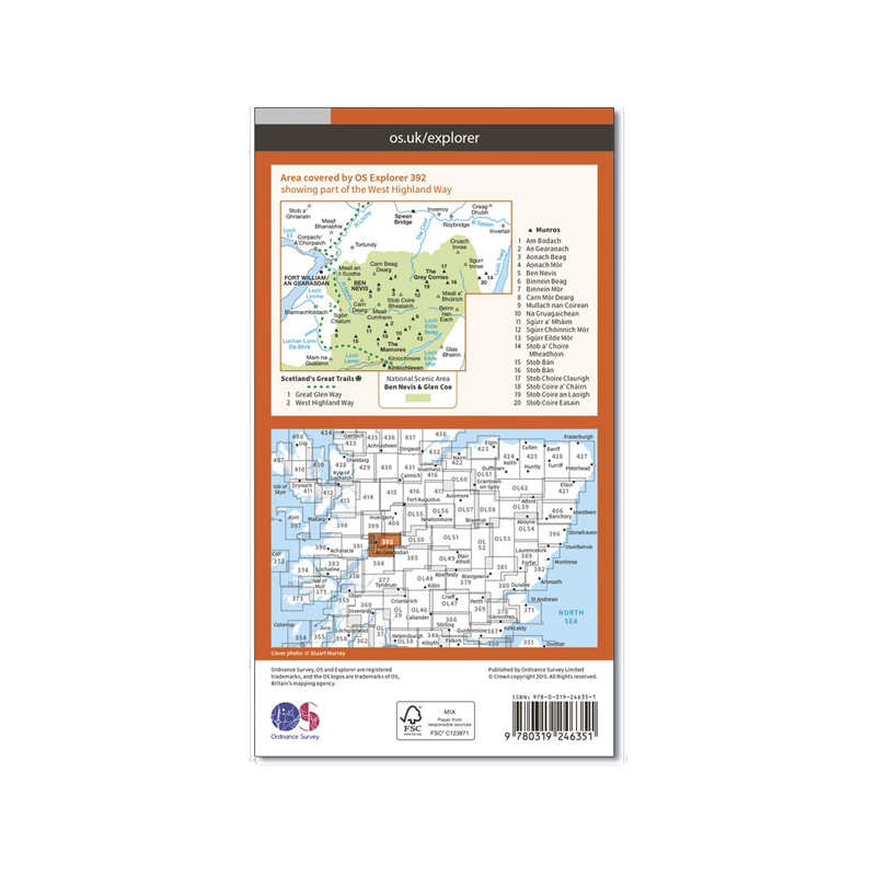
OS Explorer sheet 392 in the OS Explorer map series is the ideal map for exploring the mountainous area of Ben Nevis, Fort William, The Mamores and The Grey Corries Kinlochleven and Spean Bridge. The area is frequented by mountain climbers and hikers or those wishing to soak up the scenery.
'The Ben' is Britain's highest mountain; spectacular, challenging, iconic and awe-inspiring. At the top, you'll be rewarded by panoramic views across the Scottish highlands and the satisfaction of having climbed the big one. Containing the end sections of the West Highland Way and part of the Great Glen Way, this OS Explorer Map also contains the area around Fort William, and the forests and mountains to the north and west of Ben Nevis including 20 of the Munros such as Stob Ban, Binnein Mor, Càrn Mor Dearg, Aonach Mòr, and Aonach Beag.
Highlights of the area include Ben Nevis, Glen Nevis, River Nevis, Loch Leven, The Munros, Kinlochleven, Glen Coe, Loch Leven Heritage Trail, The Mamores, The Grey Corries, Spean Bridge, Loch Leven, and Ballachulish.
The OS Explorer series, are the most detailed maps recommended for anyone who enjoys outdoor activities. The 1:25,000 scale GPS compatible maps with hiking trails, cycling routes and extensive tourist information are great gifts for walkers.
With this OS map, you can now download a copy for use on your Android or iOS smartphone or tablet. Each paper map has a unique code that will give you access to the same mapping using our new app, OS Maps.
Just scratch off the silver panel on the inside cover, enter the code and then download your map inside the app.
Features
- Scale: 1:25,000
- Material: Paper
- Series: Explorer
- Includes Mobile Download
Specifications
- Weight: 0.0kg / 0.0oz - TBC
- Dimensions: 13.5W x 24H cm / 5.3W x 9.4H in
- Brand: Ordnance Survey
- Publication Date: TBC
- ISBN: 9780319246351
Shipping & Returns
Shipping & Returns
Standard delivery applies
Share
